|
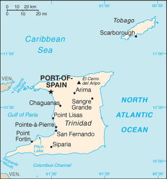
It shares maritime boundaries with other nations including Barbados to the northeast, Guyana to the southeast, and Venezuela to the south and west. |

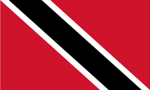
Official Name: The Republic of Trinidad and Tobago Capital: Port-of-Spain Population: 1,229,953 (July 2009 est.) Area: 5,128 sq km Density: 212 inhab/ sq Km Religions: Roman Catholic 26%, Hindu 22.5%, Anglican 7.8%, Baptist 7.2%, Pentecostal 6.8%, Muslim 5.8%, Seventh Day Adventist 4%, other Christian 5.8%, other 10.8%, unspecified 1.4%, none 1.9% (2000 census) Language: English (official), Hindi, French, Spanish, Chinese Ethnics Group: Indian (South Asian) 40%, African 37.5%, mixed 20.5%, other 1.2%, unspecified 0.8% (2000 census) Government: Parliamentary democracy Currency: Trinidad and Tobago Dollar |
Inglés


 The Republic of Trinidad and Tobago (pronounced /ˈtrɪnɨdæd ən təˈbeɪɡoʊ/) is an archipelagic state in the southern Caribbean, lying northeast of the South American country of Venezuela and south of Grenada in the Lesser Antilles.