|
It shares maritime boundaries with other nations including Barbados to the northeast, Guyana to the southeast, and Venezuela to the south and west. |
Official Name: The Republic of Trinidad and Tobago Capital: Port-of-Spain Population: 1,229,953 (July 2009 est.) Area: 5,128 sq km Density: 212 inhab/ sq Km Religions: Roman Catholic 26%, Hindu 22.5%, Anglican 7.8%, Baptist 7.2%, Pentecostal 6.8%, Muslim 5.8%, Seventh Day Adventist 4%, other Christian 5.8%, other 10.8%, unspecified 1.4%, none 1.9% (2000 census) Language: English (official), Hindi, French, Spanish, Chinese Ethnics Group: Indian (South Asian) 40%, African 37.5%, mixed 20.5%, other 1.2%, unspecified 0.8% (2000 census) Government: Parliamentary democracy Currency: Trinidad and Tobago Dollar |
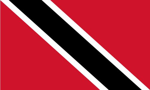
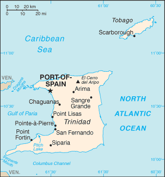 The Republic of Trinidad and Tobago (pronounced /ˈtrɪnɨdæd ən təˈbeɪɡoʊ/) is an archipelagic state in the southern Caribbean, lying northeast of the South American country of Venezuela and south of Grenada in the Lesser Antilles.
Comunicados de prensa más recientes
Islas Caimán, 31 de octubre de 2025. El CCRIF SPC anunció que hará un pago de US$70 millones al Gobierno de Jamaica tras el paso del huracán Melissa. Es el mayor pago único en la historia del CCRIF y una poderosa demostración del modelo de seguro paramétrico de la organización.
Gran Caimán, 18 de diciembre de 2024.