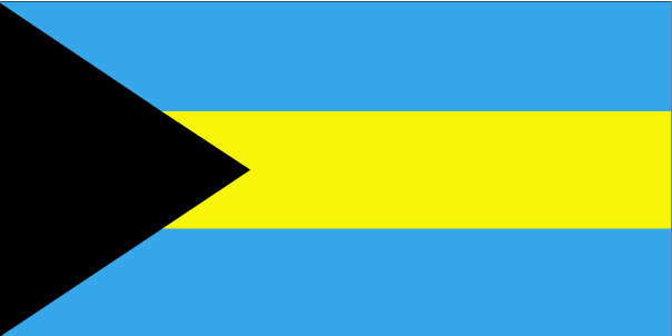
|
It is located in the Atlantic Ocean north of Cuba, Hispaniola (Dominican Republic and Haiti) and the Caribbean Sea, northwest of the Turks and Caicos Islands, and southeast of the United States of America (nearest to the state of Florida). Its total land area is almost 14 000 km², with an estimated population of 330,000. Its capital is Nassau. |
Name: The Commonwealth of the Bahamas Capital: Nassau Population: 307,552 Area: 13,880 sq km Coastline: 3,542 km Population Density: 22 inhab/ sq Km Religion: Baptist 35.4%, Anglican 15.1%, Roman Catholic 13.5%, Pentecostal 8.1%, Church of God 4.8%, Methodist 4.2%, other Christian 15.2%, none or unspecified 2.9%, other 0.8% (2000 census) Language: English (official), Creole (among Haitian immigrants) Ethnic Group: black 85%, white 12%, Asian and Hispanic 3% Government: Constitutional Parlamentary Democracy Currency: Bahamian dollar |
Inglés


 The Bahamas (pronounced /ðə bəˈhɑːməz/), officially the Commonwealth of the Bahamas, is an English-speaking country consisting of 29 islands, 661 cays, and 2,387 islets (rocks).
